
Parco delle Groane e della Brughiera Briantea
"Parco delle Groane e della Brughiera Briantea & XNatura: biodiversity monitoring in a regional protected area"
Project overview
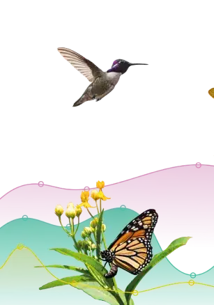
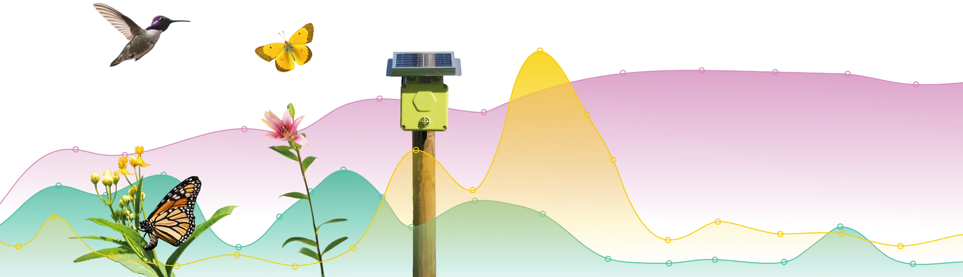
The Parco delle Groane e della Brughiera Briantea, a regional protected area that hosts the last remaining broadleaf forests and heathlands classified as Sites of Community Interest (SCI), has launched a project aimed at assessing and enhancing its contribution to biodiversity conservation. In 2024, the park implemented an advanced biodiversity analysis using cutting-edge technologies, following a two-phase approach: mapping biodiversity through satellite imagery to analyze land cover and real-time monitoring of pollinators to assess their presence and activity within the ecosystem.
Main phases of the project
The first phase of the project involved a biodiversity assessment through Flora, an innovative system developed in collaboration with the European Space Agency (ESA). By analyzing satellite images and using artificial intelligence models, a large-scale mapping of biodiversity potential across different areas of the park was created. This approach allowed for the identification of the most suitable sites for field monitoring. Additionally, Flora enables continuous monitoring of vegetation dynamics, detecting any changes in ecosystems over time and providing valuable data for the conservation and management of the park's biodiversity.
Choose our services
Each XNatura assessment and monitoring suite is based on standard and recognized protocols that help you understand the priority level of your sites in relation to nature, biodiversity, and climate.
You want a personalized plan


Trusted by more than 1000 companies and 10,000 sites


Do you want to monitor risks, impacts, dependencies, and opportunities related to nature, biodiversity, and climate in a single platform? Start today with XNatura.
Case studies from the urban and real estate sector
Explore our case studies and learn how companies in the urban and real estate sectors are using XNatura, integrating biodiversity monitoring into their operations.


XNatura
The first integrated platform to define and implement a comprehensive biodiversity, nature and climate strategy for companies, municipalities and nature parks, fully compliant with ESRS standards.
