
Santa Giulia District
"Santa Giulia District & XNatura: monitoring the satellite biodiversity of a Milan district."
Monitoring overview
XNatura initiated an assessment of the state of biodiversity in the Santa Giulia District of Milan through satellite analysis made possible by Flora, an innovative system developed in collaboration with the European Space Agency (ESA). This assessment offered a detailed overview of the district's biodiversity potential.
Satellite monitoring of the Santa Giulia District
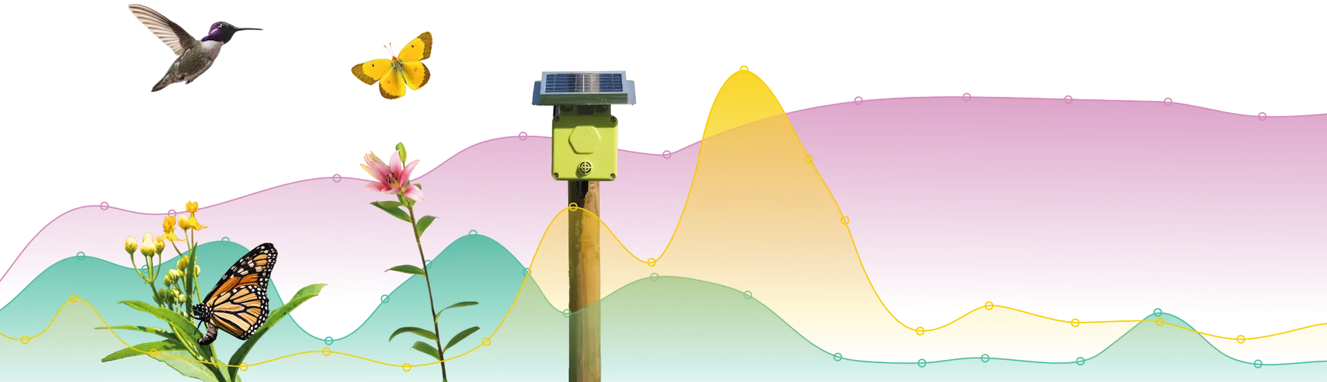
XNatura utilizes satellite monitoring technologies to analyze the biodiversity of the Santa Giulia District in Milan, supported by Flora, developed in collaboration with the European Space Agency (ESA). Through satellite imagery, a comprehensive overview of the district’s biodiversity potential has been provided, identifying optimal areas for potential field monitoring and enabling continuous observation of vegetative dynamics to detect ecosystem changes over time.
Choose our services
Each XNatura assessment and monitoring suite is based on standard and recognized protocols that help you understand the priority level of your sites in relation to nature, biodiversity, and climate.
You want a personalized plan


Trusted by more than 1000 companies and 10,000 sites


Do you want to monitor risks, impacts, dependencies, and opportunities related to nature, biodiversity, and climate in a single platform? Start today with XNatura.
Case studies from the urban and real estate sector
Explore our case studies and learn how companies in the urban and real estate sectors are using XNatura, integrating biodiversity monitoring into their operations.


XNatura
The first integrated platform to define and implement a comprehensive biodiversity, nature and climate strategy for companies, municipalities and nature parks, fully compliant with ESRS standards.
